mySwissMap
This site is the shop to order a mySwissMap on demand – if you want to go back to swisstopo’s main site please click here
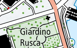
National Map 1:10,000
swisstopo's largest map scale is with mySwissMap available on paper for the first time. This map was originally developed for online publication on web portals and is very popular because of its level of detail.
Customize this map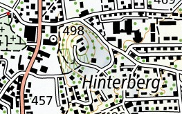
National Map 1:25,000
This topographic map has been the best and most detailed sets of maps for generations, and are also the most popular in Switzerland.
Customize this map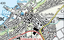
National Map 1:50,000
The Swiss Army greatly depends on the 1:50,000 national map in view of its richness of detail and its clarity. Also for hikers, alpinists, cyclists, planners, travelers and adventurers.
Customize this map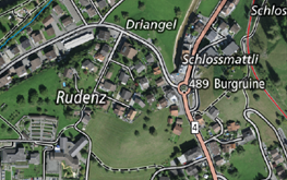
Orthophoto Map
A combination of traditional map elements and a precise aerial photograph with all details. This makes orientation particularly easy, even less experienced map readers will find their way around.
Customize this map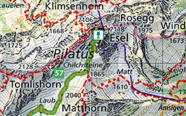
Hiking Map
The best map material for your most beautiful hikes shows marked hiking trails, mountain hiking trails and alpine hiking trails as well as useful information such as public transport stops, points of interest, observation towers, secluded inns and car parks.
Customize this mapCoverage of the hiking topic
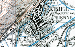
Siegfried Map 1:25'000
The first complete edition of the Siegfried Map from the years 1870 - 1922 covers the Jura Mountains and Central Plateau regions at a scale of 1:25,000. Together with the Siegfried Map 1:50,000, it represents the first detailed map of all of Switzerland and is a unique item of our cultural heritage.
Customize this mapCoverage of the Siegfried Map 1:25'000
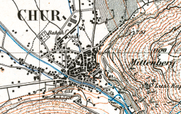
Siegfried Map 1:50'000
The first complete edition of the Siegfried Map from the years 1870 - 1915 covers the Alpine regions at a scale of 1:50,000. Together with the Siegfried Map 1:25,000, it represents the first detailed map of all of Switzerland and is a unique item of our cultural heritage.
Customize this mapCoverage of the Siegfried Map 1:50'000
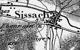
Dufour Map
The first official topographic map covering the whole of Switzerland - the first edition of the Dufour Map from the years 1844 - 1864 is available in printed form as mySwissMap.
Customize this mapCoverage of the Dufour Map
You are not logged in.
Contact
3084 Wabern
- Tel.
- +41 58 469 01 11

